
Poughkeepsie Previous Residents by Era
Different Poughkeepsie records answer different parts of a house history. The County Clerk’s land index tracks legal transfers, but it does not establish who occupied a home. City directories and census schedules can place a named household at a street address for a dated snapshot. Tax rolls, maps, and the historic-resource inventory help test whether an older address is the same place as the address used today. Start with the newest reliable parcel identity, then move backward without collapsing owner, mailing address, and resident listing into one claim.
| Source | Years It Covers | Where Held | What It Shows |
|---|---|---|---|
| Ancient Documents | 1721–1840s | Dutchess County Clerk and Department of History | Legal roles, land disputes, roads, deeds, and civic relationships in image-based manuscripts. |
| DCHS maps and scrapbook | 1780–1929 | Dutchess County Historical Society | Street growth, early lots, renamed roads, Sanborn 1887, and local civic geography. |
| Directories and federal census | 1846–present directories; 1790–1880, 1900–1950 census | PPLD, NARA, and library databases | Dated name, address, occupation, and household context, subject to series gaps. |
| Sanborn map sets | 1887; LOC editions 1913 and 1950 | DCHS and Library of Congress | Building footprints, use, materials, street and block numbering, and boundaries. |
| Historical tax rolls | 1952–2019 | Dutchess Historical Tax Rolls viewer | Annual owner, assessment, property-location, exemption, and municipality snapshots. |
| Current rolls and deed records | Current rolls; deed images from 1907 historical coverage and stated current periods | City Assessor, ParcelAccess, and County Clerk | Modern parcel identity, owner of record, deed parties, instrument dates, and book or page references. |
For a mid-century question, the tax-roll viewer can bridge a current parcel to an older owner name. For an earlier block, use the period directory and map before assuming the street number carried forward unchanged. The Dutchess County document-search information explains that land images have separate historical and current coverage. A result that stops at the online image range is a reason to use the Record Room or a copy request, not proof that an older deed never existed.
Poughkeepsie Ancient Records and Maps
For an address that reaches before modern parcel systems, the Dutchess Ancient Document Search is an early legal-name trail rather than a resident list. Its records run from 1721 into the 1840s and include deeds, agreements, petitions, land disputes, road controversies, court minutes, and judgments. The search accepts a party, city, record type, offense, year, or document number. A wildcard can help with a partial name, but at least one field is required.
The Ancient Document Search interface is shown below with its field-based approach to Dutchess historical materials.
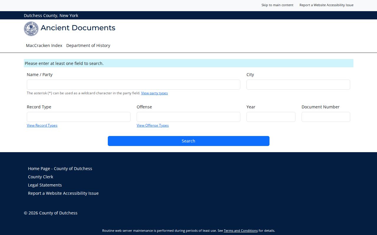
Many scans are original manuscripts and are not word-searchable. A party’s role, such as grantor, grantee, heir, executor, land owner, or plaintiff, may be the useful connection to a place. Read the image and save the record date, role, and wording before deciding it concerns the same address.
The Dutchess County Historical Society finding aids add the map and manuscript layer that the index cannot supply. Its Poughkeepsie scrapbook inventory identifies maps from 1780, 1798, 1799, 1834, 1837, 1858, 1874, 1876, 1887, 1891, and 1929, along with deed and institutional collections.
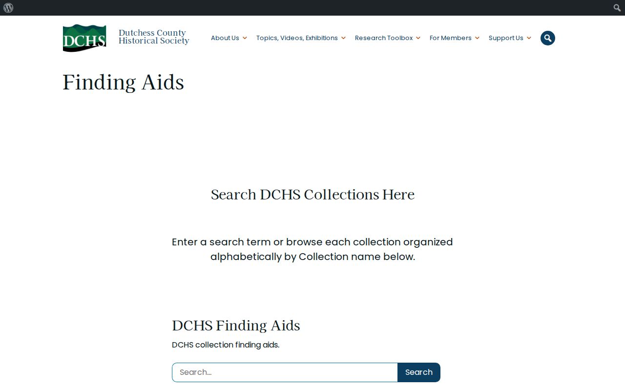
Those finding aids are a way to request a defined map or collection. The Dutchess County Department of History also provides the County Historian research route for questions about historical resources. Current appointment, reproduction, and access arrangements were not located in the research, so confirm them with the society before relying on an in-person visit.
Poughkeepsie Previous Residents Need Jurisdiction Checks
The place label can change before the building does. The Town of Poughkeepsie formed in 1788, the village was established in 1799, the village became the City in 1855 after the charter process, and the Eighth Ward was annexed from the Town in 1929. A record from an earlier period may therefore be filed under the Town or another local description rather than the City label used today.
Street numbers need the same caution. The city numbering code traces to a 1929 ordinance, and the official-map ordinance identifies a 1955 official map. Compare an old directory spelling and number with a dated map, deed, or tax roll before joining it to a modern parcel. Arlington is nearby Town and postal context, not a substitute municipality for a City parcel.
Note: Keep the original street spelling, record year, municipality, and parcel or grid reference together when documenting a Poughkeepsie address history.
Poughkeepsie Previous Residents Through Deeds
The Dutchess County Clerk Document Search is the main route for an ownership trail. Its name search uses a “Last First” form and permits up to three name criteria. Recorded-date, document year or number, liber and page, document type, municipality, and party-type fields help refine a match. Results display Party Name, Type, Year, Document Number, Liber, Page, Municipality, Party Type, Date Recorded, Comment, and Complement Name.
Work backward one recorded transfer at a time. This produces a chain of title, which is a sequence of ownership instruments, not a roster of past occupants.
- Find the current parcel location, municipality, parcel number, owner of record, and deed book or page in Dutchess ParcelAccess or the local assessment material.
- Search the present owner as a grantee in the County Clerk index and open the deed that brought the parcel to that owner.
- Record the seller, legal description, recording date, document number, liber and page. The seller is the next name to investigate as a prior grantee.
- Search that seller as a grantee to locate the earlier purchase, checking municipality and parcel language at each transfer.
- Repeat until the online trail reaches its coverage edge, then ask the Record Room or County Clerk copy channel about older books, images, or a mail-copy request.
- Grantor / grantee
- The grantor transfers an interest in land. The grantee receives that interest, so the grantee search is normally the backward step for a prior purchase.
- Chain of title
- A documented sequence of deeds and related instruments connecting one ownership transfer to the next for the same parcel.
- Legal description
- The deed’s formal parcel description, often stronger than a street number when a street was renamed, renumbered, split, or merged.
Deed images have stated current and historical reach. Historical deed images begin July 7, 1907, while current deed coverage and other instrument ranges have their own stated periods. The Clerk reports deed images from January 1, 1989 forward plus the historical July 7, 1907 through December 31, 1988 range. Material older than the historical image range may require a counter visit or copy request. Free online viewing does not remove the need to verify the image, party ordering, and parcel description. The name search normalizes capitalization, punctuation, and spaces for practical variants, but a spelling variation still deserves a separate search note.
Poughkeepsie Previous Residents in Tax Rolls
The Dutchess Historical Tax Rolls viewer supplies a practical bridge between recent property records and older address work. Select the roll year and municipality, then search the City of Poughkeepsie as its own choice. The collection covers 1952 through 2019 and can show an owner, property location, assessment, exemptions, and the roll year. Large rolls may run to hundreds or thousands of pages, so a download can take time.
A tax-roll name is an owner or tax-related field for that roll, not a declaration that the person lived at the site. Compare it with a directory, census, or deed before describing a historical connection. Current annual rolls and the City Assessor can resolve a parcel or grid number when an old address has an ambiguous number.
Poughkeepsie Previous Residents in Directories and Census
Ownership is only one layer of a past-address search. Poughkeepsie city directories pair names, street addresses, and occupations in dated volumes, and the PPLD scanning project reaches from 1846 toward the present as collection work permits. Use a directory year to identify a name and address, then check the nearest available census year for household context. The collections themselves, including the digitized runs and library access limits, are detailed on the Poughkeepsie city directory page.
NARA’s 1950 Census research resources provide the released census route, including maps and schedules for the latest available federal census.
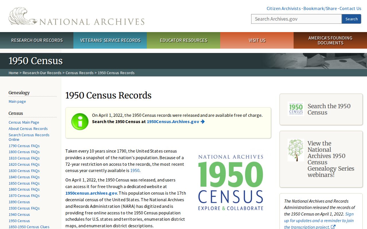
Census work is most reliable after an address has been translated into the period’s ward or enumeration-district geography. Available schedules cover 1790–1880, 1900–1940, and 1950. The 1890 population schedules were largely destroyed in the 1921 Commerce Department fire, so that gap calls for directories, newspapers, tax rolls, deeds, maps, and library holdings instead.
- Choose a directory entry whose street spelling and number match the period.
- Use the date, ward, map, or enumeration-district information to identify the nearest census search area.
- Compare the household listing with the next directory or roll, preserving differences instead of forcing a match.
Poughkeepsie Previous Residents and Building Context
Sanborn sheets add a block-level check to a previous-residents trail. DCHS lists Poughkeepsie Sanborn material from 1887, while the Library of Congress Poughkeepsie Sanborn edition supplies the 1913 edition republished in 1952. These maps can show building footprints, construction, use, height, street and house numbers, and boundaries. They explain a building or block, but they do not name a present household.
The City’s historic-district overview also identifies Balding Avenue, Mill Street/North Clover, Upper Mill Street, Union Street, Academy Street, Garfield Place, and Dwight Hooker. The by-street Historic Resource Inventory records street number, historic photo or status, and ward or color fields. Use those fields for address continuity, never as proof of an occupant.
Note: A historic district or map context can support a house-history question, but no map label establishes who lived at an address.
Lawful Poughkeepsie Previous Residents Research
House history, family history, estate research, and a dated property question are legitimate reasons to compare public sources. Keep the result narrow: cite the source, date, record role, and municipality. Avoid copying sensitive details or treating an owner mailing address, an old directory line, or a map position as a current household profile.
Lawful use. Poughkeepsie previous-resident research is for documented house and family history. Do not use an old or current record to follow, intimidate, harass, or harm a living person.