
Poughkeepsie Neighbors at Block Scale
Public block research in Poughkeepsie is strongest when it stays specific about the record type. Parcel geometry can show adjacent lots. A historic map can show a building and street pattern from a particular period. A public agenda can identify a civic meeting or appointed role. None of those sources creates a reliable list of households or social relationships. Use the source that fits the question, retain the municipality and date, and do not convert owner, mailing, or place data into an occupancy claim.
| Source | What It Shows About a Block | Access |
|---|---|---|
| ParcelAccess map | Parcel boundaries, adjacent geometry, situs, municipality, map scale, and public parcel fields. | Address or parcel search, map click, layers, and a drawn nearby-parcel list. |
| City historic districts and inventory | District boundaries, contributing resource numbers, historic photo or status, ward, and color/status fields. | City historic-district material and by-street inventory for address continuity. |
| Sanborn map sets | Dated footprints, use, materials, height, street and block numbering, and boundaries. | DCHS 1887 material and Library of Congress 1913 and 1950 map access. |
| City boards and Poughkeepsie Alliance | Published public agendas, appointed civic roles, projects, parks, gardens, and place names. | City public materials and Alliance project context, not a membership directory. |
| Dutchess Board of Elections | A voter’s own registration-confirmation route and controlled elections-record access. | Official voter lookup or a defined request with an elections purpose and confidentiality exclusions. |
The first two sources describe land and public historic context. ParcelAccess can display owner and primary owner mailing fields, but the field’s name makes the limit clear: a mailing destination is not proof that the owner, a resident, or a group is at the parcel. Nearby parcels are map geometry, not a neighborhood membership list.
Poughkeepsie Neighbors Through Map Geometry
Dutchess ParcelAccess is the practical address-to-block crosswalk. Its Address mode accepts number, predirectional, street, postdirectional, suffix, and municipality, with partial street entry allowed. A result can show parcel number, associated grid numbers, parcel location, municipality, owner name, primary owner mailing address, lot size, land use, assessment, market value, school district, roll section, tax code, and deed book or page. Its map also supports parcel clicks, aerial, terrain, and lot-line layers, measurement, and map printing.
The map path should be drawn as a narrow research flow: address → confirm municipality → ParcelAccess map and layers → draw or list nearby parcels → historic district, map, and community context. The nearby-parcel list is created from drawn geometry. It is not a private household list, an occupancy record, or evidence that people have a social relationship.
- Enter the address and select the municipality. Check the parcel location and municipality before treating a mailing-city label as a City of Poughkeepsie result.
- Use the map to inspect adjoining parcel shapes and, when needed, draw the tight area that contains the immediately surrounding lots.
- Record only the public map fields needed to identify a parcel, especially the parcel number, situs, municipality, and deed book or page.
- Switch to historic or civic sources for block context. For a full named-street records chain, use the Poughkeepsie street directory instead of widening a block search.
ParcelAccess warns that ownership is as of the March 1 taxable-status date; assessment updates occur on May 1 and July 1. When a transfer may be newer, compare the latest roll, local assessor, or County Clerk document index. Popup blockers may also prevent a full property card from opening.
Poughkeepsie Neighbors Need City-or-Town Checks
Poughkeepsie has a City and a surrounding Town, and postal names can cross that line. A Poughkeepsie mailing line may refer to the City, the Town, Arlington, a post-office box, or a delivery area. Arlington is adjacent Town and postal context, so it cannot be folded into a City parcel result. The municipality field in ParcelAccess, the local assessment roll, and the municipality on a County Clerk document are the useful cross-checks.
History also changes the correct label. The Town formed in 1788, the village became the City in 1855, and the Eighth Ward was annexed from the Town in 1929. A historic address may belong to a different jurisdiction label than a modern block. Keep that period label with the date before comparing nearby parcels.
Note: A ZIP city name or a familiar neighborhood label should never replace the municipality shown in the parcel and deed record.
Poughkeepsie Neighbors and Historic District Context
The City’s historic-district overview is a public way to understand a block’s documented setting. It identifies Balding Avenue, Mill Street/North Clover, Upper Mill Street, Union Street, Academy Street, Garfield Place, and Dwight Hooker districts. The by-street Historic Resource Inventory is especially useful for matching a period address because it includes street number, historic photo or status, and ward or color fields. Those fields describe a resource and its context, not current residents.
City of Poughkeepsie public offices and board materials provide the official starting point for city historic-district and planning context.
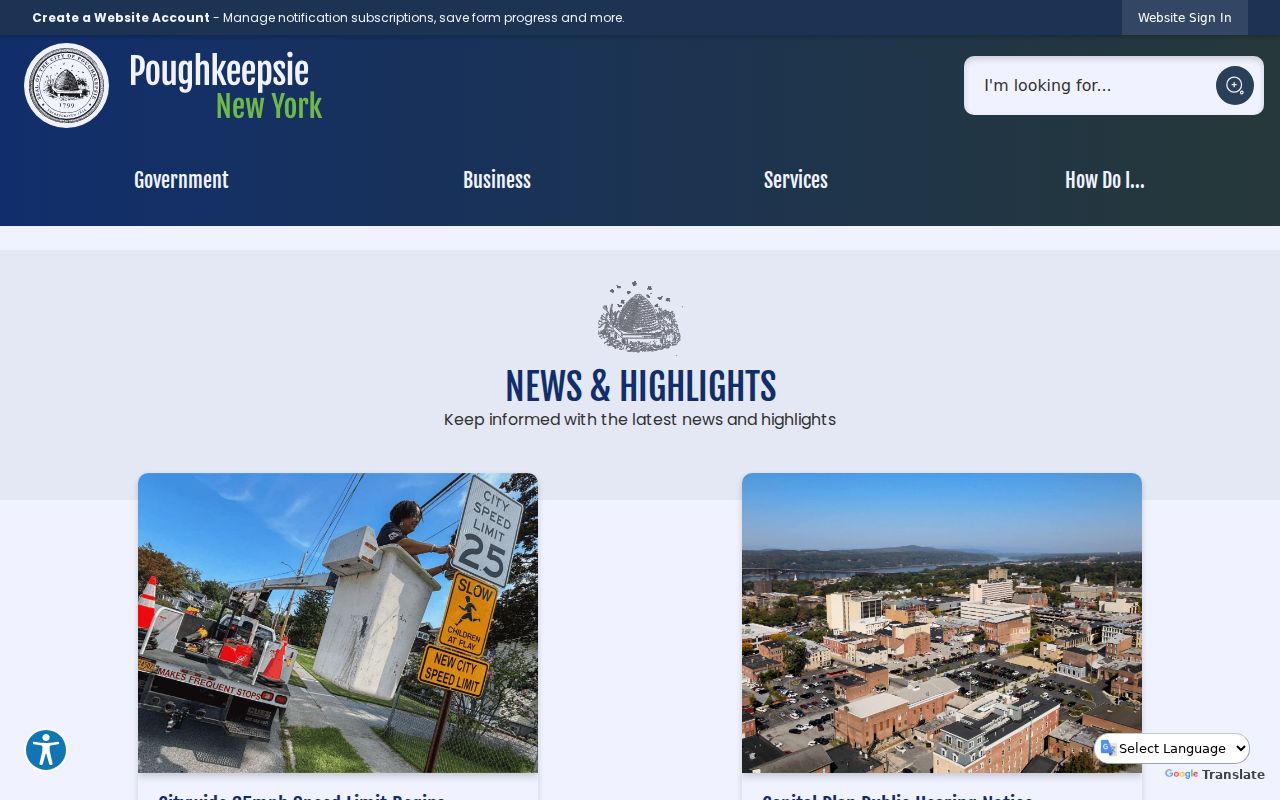
A district label can help a reader find maps, review public materials, and compare an older street number. It cannot identify a household or prove that any nearby person belongs to a neighborhood organization.
Poughkeepsie Neighbors in Sanborn Context
Sanborn material supplies a dated view of how a block was built and numbered. DCHS lists a Poughkeepsie Sanborn map from 1887, and the Library of Congress Poughkeepsie Sanborn edition provides the 1913 edition republished in 1952. Sheets may show footprints, materials, building height and use, street or house numbers, and boundaries. Pair a sheet with the directory year and municipal label rather than assuming that a present address used the same number.
Poughkeepsie’s street-naming criteria are also useful when a period map and current map use different labels. The 1983 criteria allow new thoroughfare names for local people, landmarks, topography, or veterans, distinguish road types, and prohibit duplicate exact names.
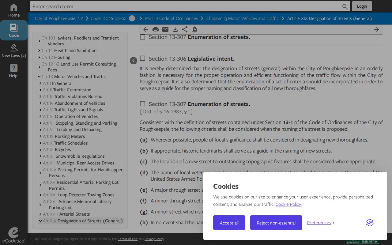
The city numbering code traces to a 1929 ordinance, while the official-map ordinance identifies a 1955 official map. Verify an old number or street name against a dated map, directory, roll, or deed before using it to relate two parcels.
Poughkeepsie Neighbors and Public Civic Sources
Documented public community context comes from offices, collections, and projects, not inferred membership. The City lists public bodies such as the Board of Assessment Review, Historic District/Landmark Preservation, Planning, Zoning Board of Appeals, Waterfront Advisory, Public Arts, and Shade Tree. Published agendas and minutes may name appointed public roles. The Poughkeepsie Alliance supplies civic place-making context, including Academy Street Welcome Sign, Park Stewardship, Corey Ingram Circle, Pershing Avenue Community Garden, Mural Square Park, Garden Street Entrance, and Lincoln Avenue Soccer Field.
City Boards and Commissions
Use published agendas and minutes for public civic activity and appointed roles. An address near a meeting topic does not establish private membership.
Poughkeepsie Alliance Projects
Use public projects as place anchors. No public member directory was located, so no affiliation should be inferred from project proximity.
PPLD and Historic Resources
The Local History Room, DCHS maps, and City historic material help document a block’s past setting, with access conditions confirmed before a visit.
Dutchess Board of Elections
The Board is the documented public contact for election administration and constrained voter-record routes, not a neighborhood membership source.
The City’s Poughkeepsie Choice/Northside notice describes a two-year, community-driven HUD-sponsored plan. It is useful as public place context. It does not identify participants or residents of the surrounding parcels. For a dated map, directory, or civic-record question, PPLD’s Adriance Memorial Library holds Poughkeepsie, Dutchess County, and Mid-Hudson material from the late 1700s onward, including maps, correspondence, local organizations, and government or school records. Materials are non-circulating and some are restricted, so contact the Local History Room before a research visit.
Poughkeepsie Neighbor Election-Record Boundaries
The Dutchess Board of Elections links to New York’s “Am I Registered to Vote?” tool, which asks for county, last name, first name, date of birth, and ZIP code. It is a registered voter’s confirmation route, not an open block list. A voter-data request must state an elections purpose under Election Law §3-103(5), and the available research did not locate a public Dutchess voter-file layout or fee schedule.
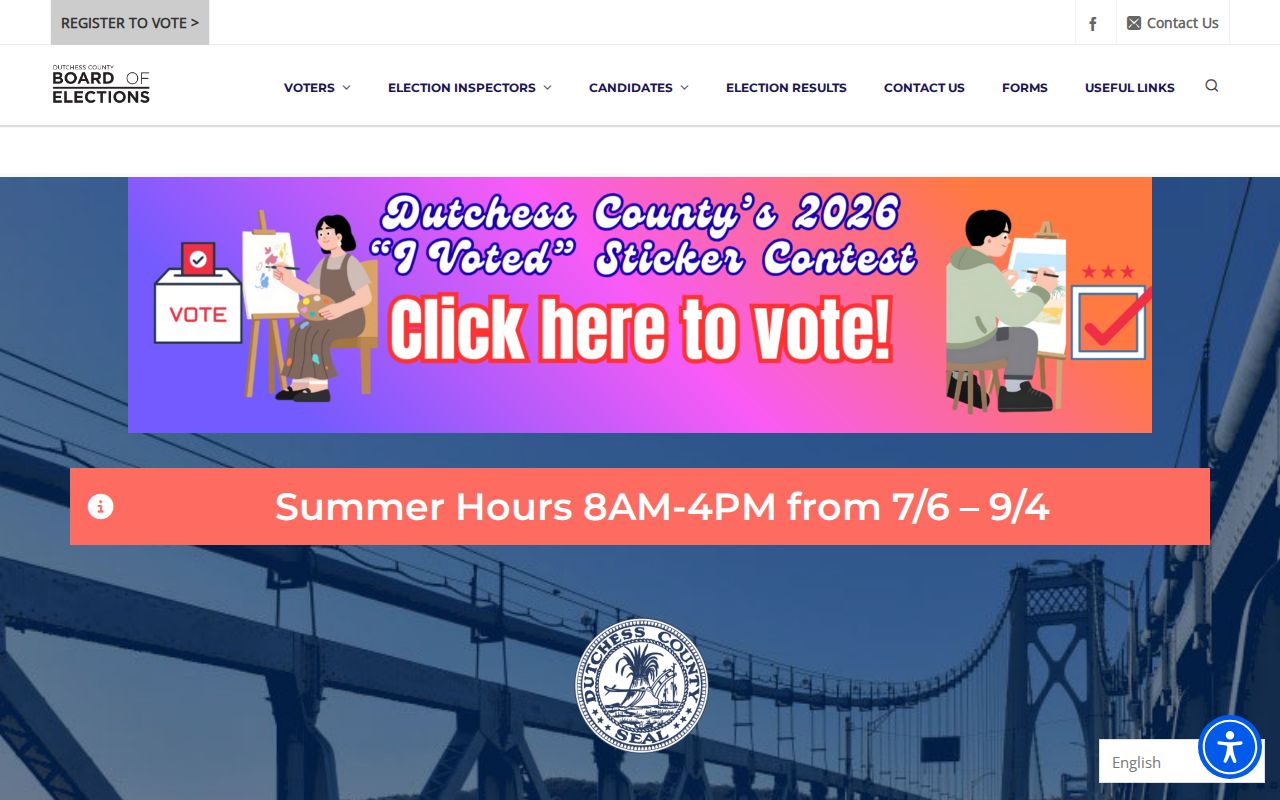
The Dutchess County Board of Elections public contact page is shown below as the county-level election-administration route.
New York confidential registration under Election Law §5-508 segregates qualifying voter records. The Address Confidentiality Program uses a substitute address for qualifying victims and household members, and agencies must use that substitute address in government records. Do not try to identify or disclose an actual location from a substitute-address clue.
Poughkeepsie Neighbor Source Comparison
Official public sources explain a specific field, date, or place. Commercial neighbor-search tools may combine stale or copied material, but they are not Poughkeepsie custodians and cannot override a restricted, confidential, or missing official record. Use the underlying record only for the question it actually answers.
| Official public source | Commercial neighbor tools |
|---|---|
| Parcel map shows geometry, municipality, and public parcel fields as of the source date. | May aggregate data of uncertain date and provenance; it does not establish occupancy or relationships. |
| Historic map or inventory documents period block context and a resource’s recorded fields. | May blend past and current information without preserving the original record year. |
| Election routes operate under purpose and confidentiality safeguards. | Cannot supply unrestricted access to protected voter or address information. |
Privacy Limits for Poughkeepsie Neighbors
New York FOIL has privacy and other exemptions, and several address-related records have stronger safeguards. Public parcel data may show owner and mailing fields but does not prove current residence. Protected voter records, ACP substitute-address records, restricted court records, and sensitive personal identifiers are not material for a block-context search. A missing result can be an access limit, not a reason to broaden a search or assemble a profile. Keep only the field, source, date, and municipality needed to understand the public block record.
Lawful use. Poughkeepsie neighbor research should remain limited to documented public block context and lawful personal purposes. Never use an address, map, or public record to watch, harass, intimidate, or harm anyone.